1)– In your sketchbooks, DRAW (by hand) A MAP of the Circle Line route (including the five boroughs of New York, two rivers and our route). Label the Newtown Creek and Wastewater Treatment Plant. Scan and upload this map to your LP.

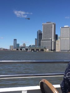
2) – Compared to what you saw when walking, what can you see and sense from the boat?
The water level looked higher than normal. It looked like it can enter the city at any bad weather.
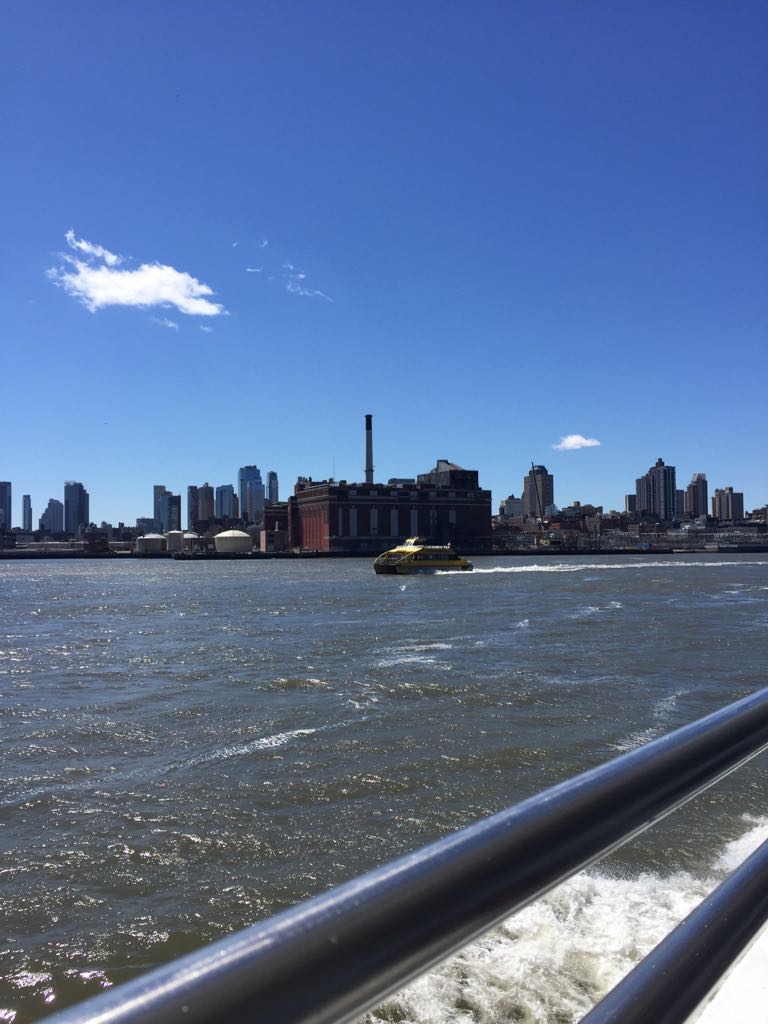
– What areas appear to be vulnerable to coastal flooding?
Some coastal factories and buildings.
– Are any effects of Hurricane Sandy visible?

Yes, there were a lot of constructions and renovations, that might have happened because if Sandy.
– Are you able to determine which areas of the coast are built on landfill? If so, what clues made this possible?
Yes, because normally landfills are located in the different place not close to tall buildings as that base is not stable enough for them. A lot what we saw was opposite we saw a lot of tall buildings at coastal areas.
– Do you see sea walls, reinforcements, marsh areas?
There are a lot of stone built at coastal areas not a lot of supporting reinforcements.
– What kind of systems do you see interacting (people, water, boats, etc)?
Financial District with the view at Statue Of Liberty is very busy on a good day, a lot of tourists and people who came to work out or ride a boat.
– Does New York seem prepared for the next  storm?
It is not prepared because cost is very open and interacted with water, there is no much protection for people or tall buildings that can crush.
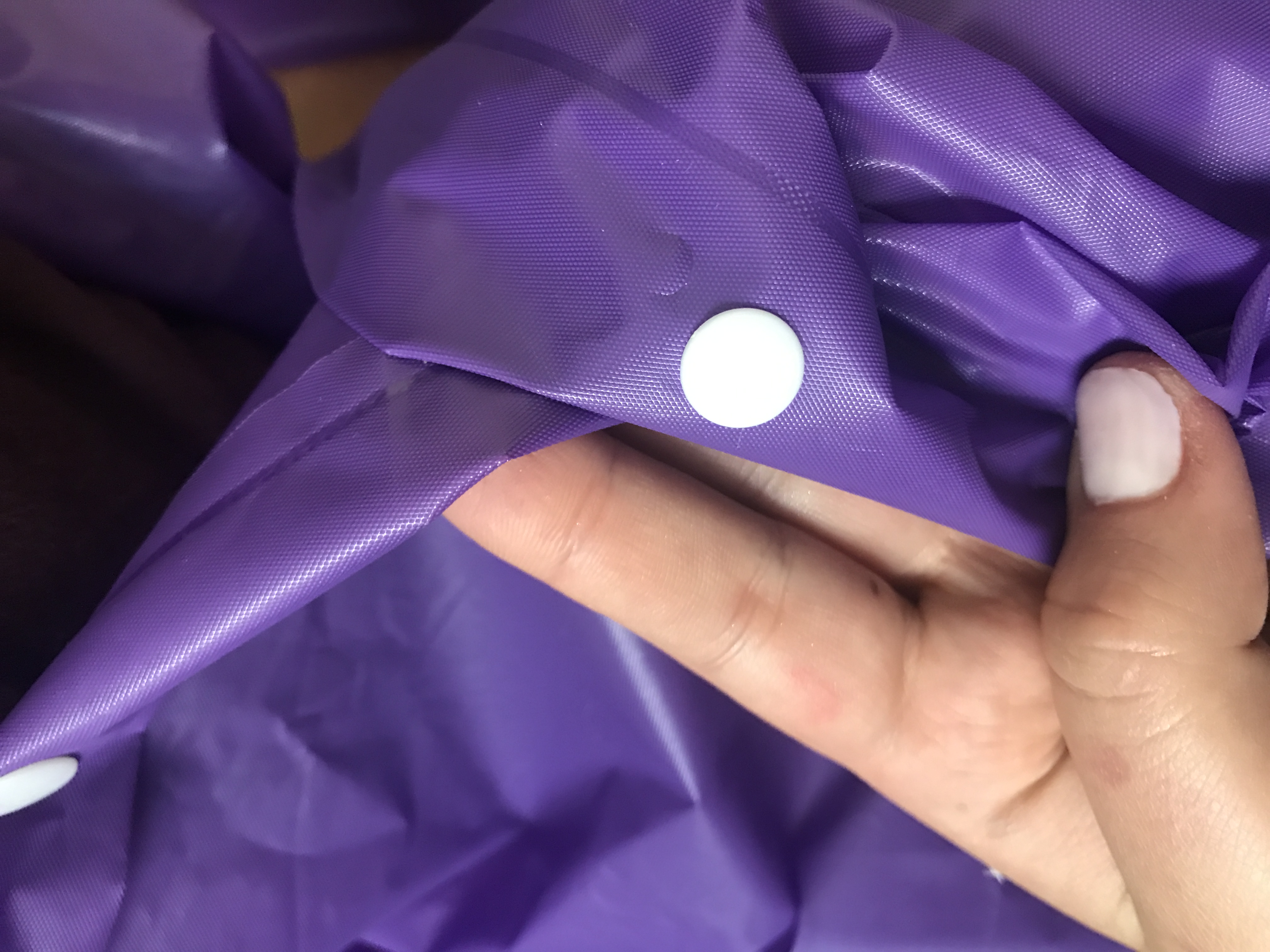
3) Post 2-3 photos that are works in progress of your final project. Reflect on how your process is going and what you are enjoying/having challenges with.
I just figured finally what I am doing so I did not star my process yet, but here is the raincoat that I will transform.