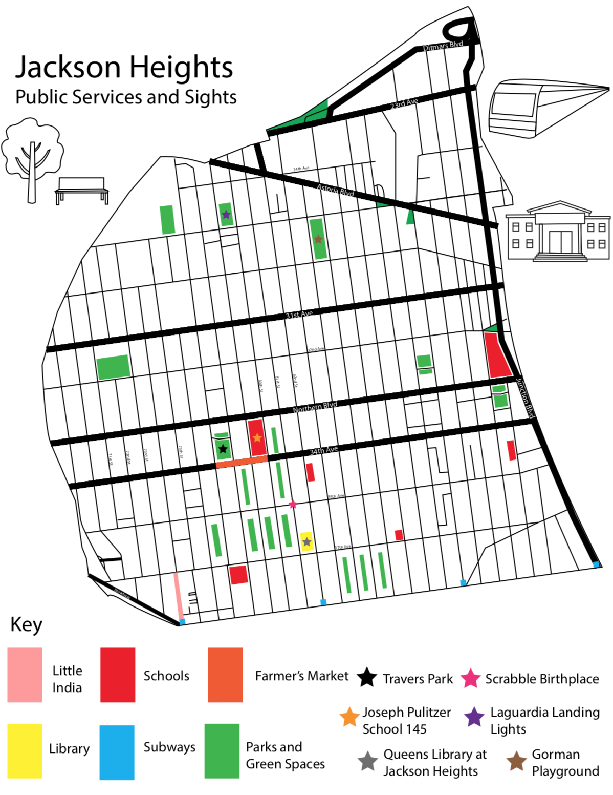
I created a map of Jackson Heights, Queens that shows the public services and sights. I wanted to show how well kept the neighbourhood is by the city as well as the community. I also wanted to add some of the culture that is present in Jackson Heights to my map because it is one of the most diverse neighbourhoods in New York City. I used Illustrator to create my map, mainly using the pen tool. I traced the outline of the large neighbourhood as well as the streets within it to create a base. Then, using what I had learned from visiting Jackson Heights, I added in public services as well as sights. As I said, I combined these two features to show how well the community and city takes care of the neighbourhood. The public services in the neighbourhood are very clean, it was clear to me that the community takes care of them. When I visited Travers Park I was shocked because it took up almost an entire block with basketball, tennis and handball courts, as well as a playground and water area for kids in the summer. There were many kids and adults playing on the playground and courts even though it was a colder day. It was clear to me from my visit that the community cherishes these sites and that is why I added them all.