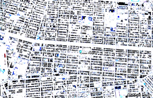
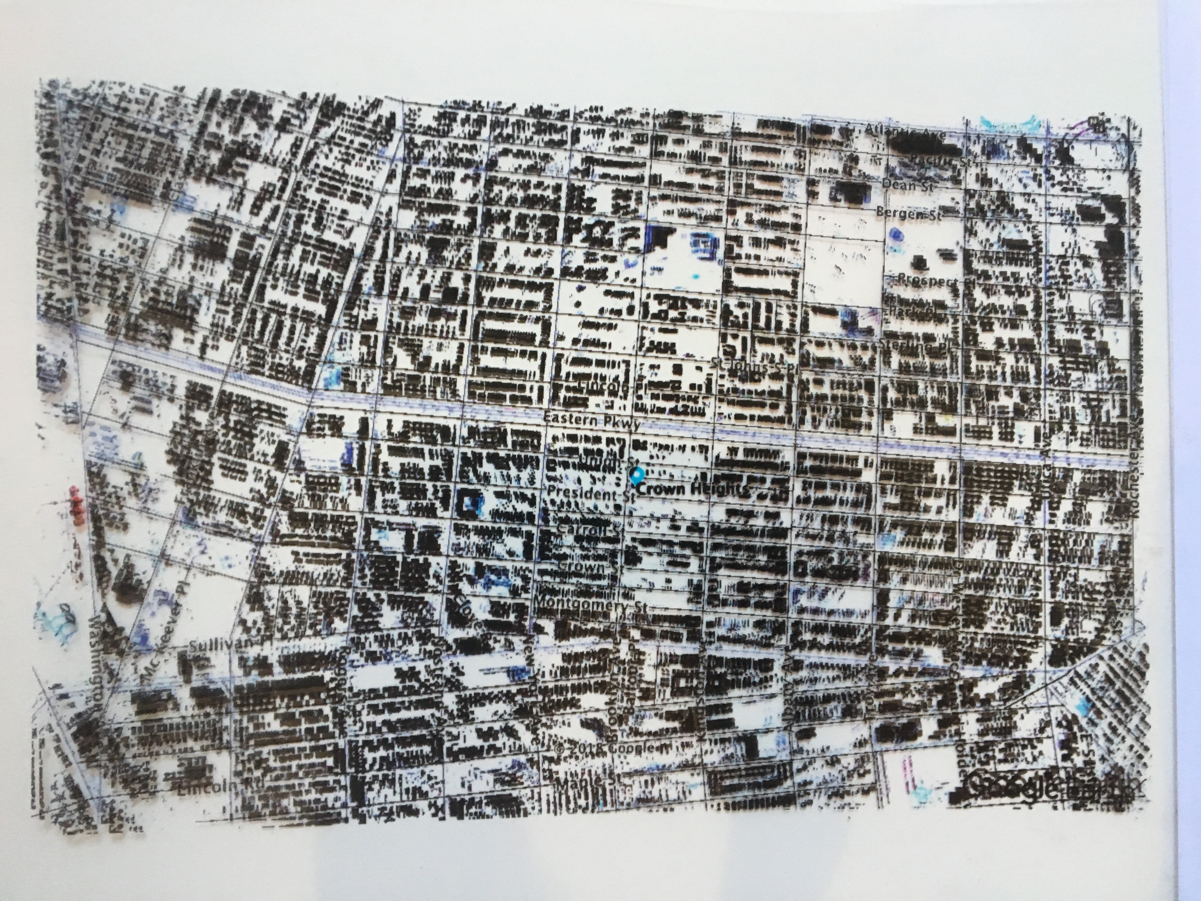
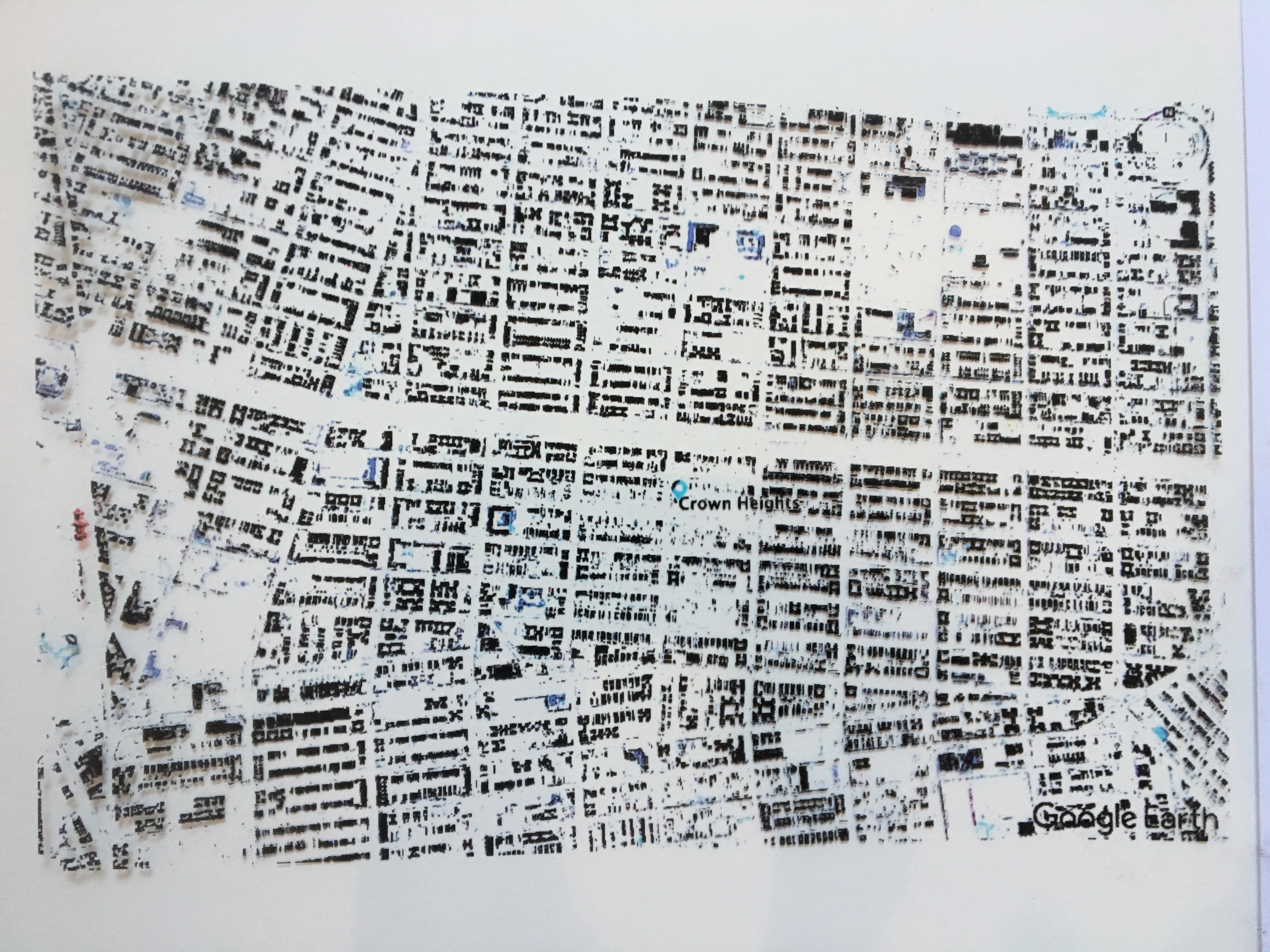
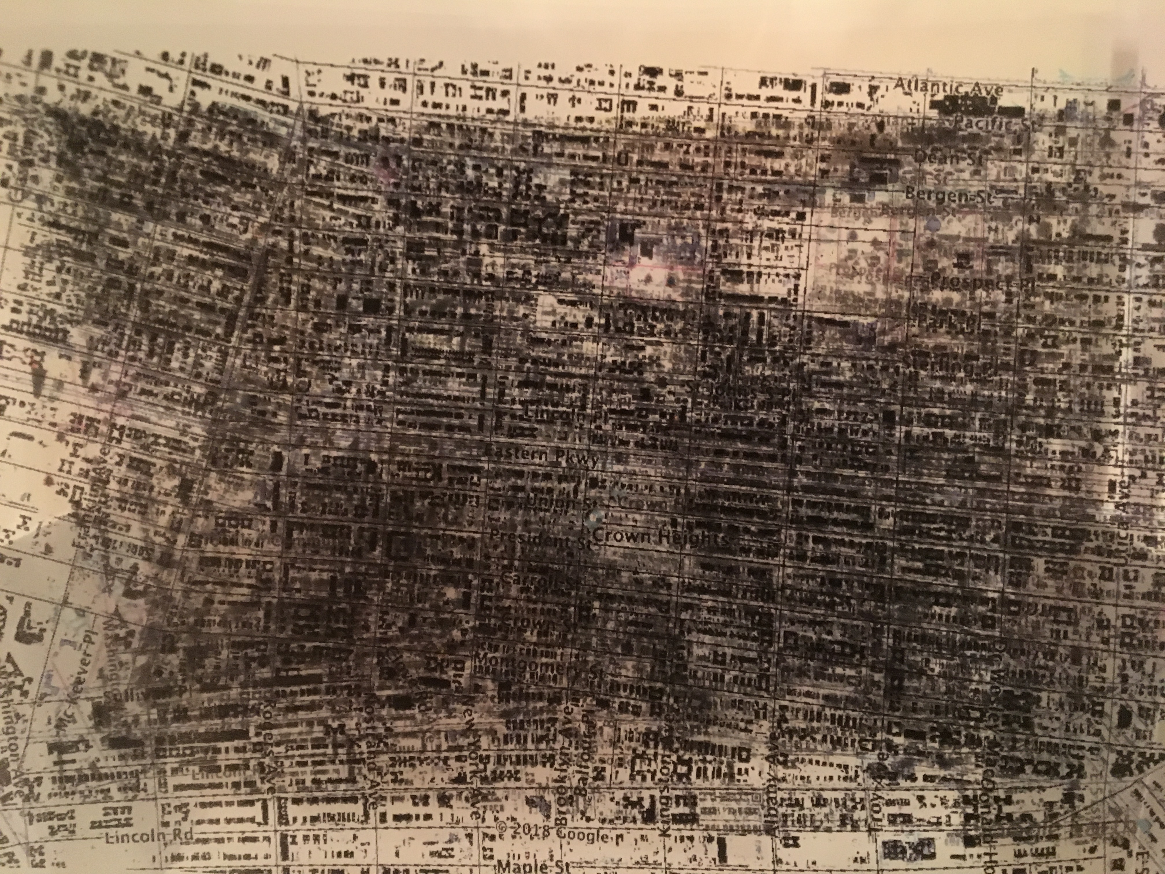
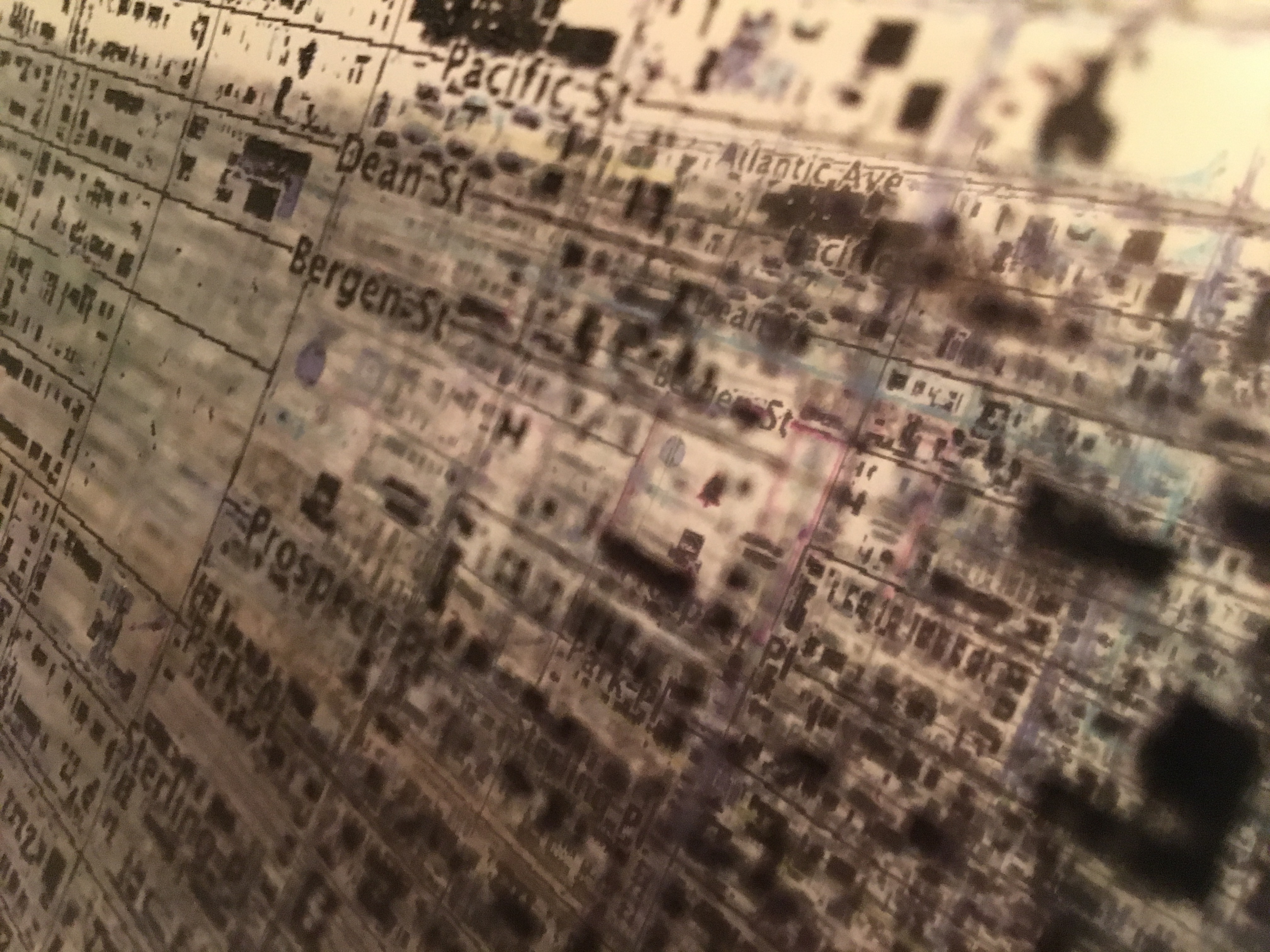
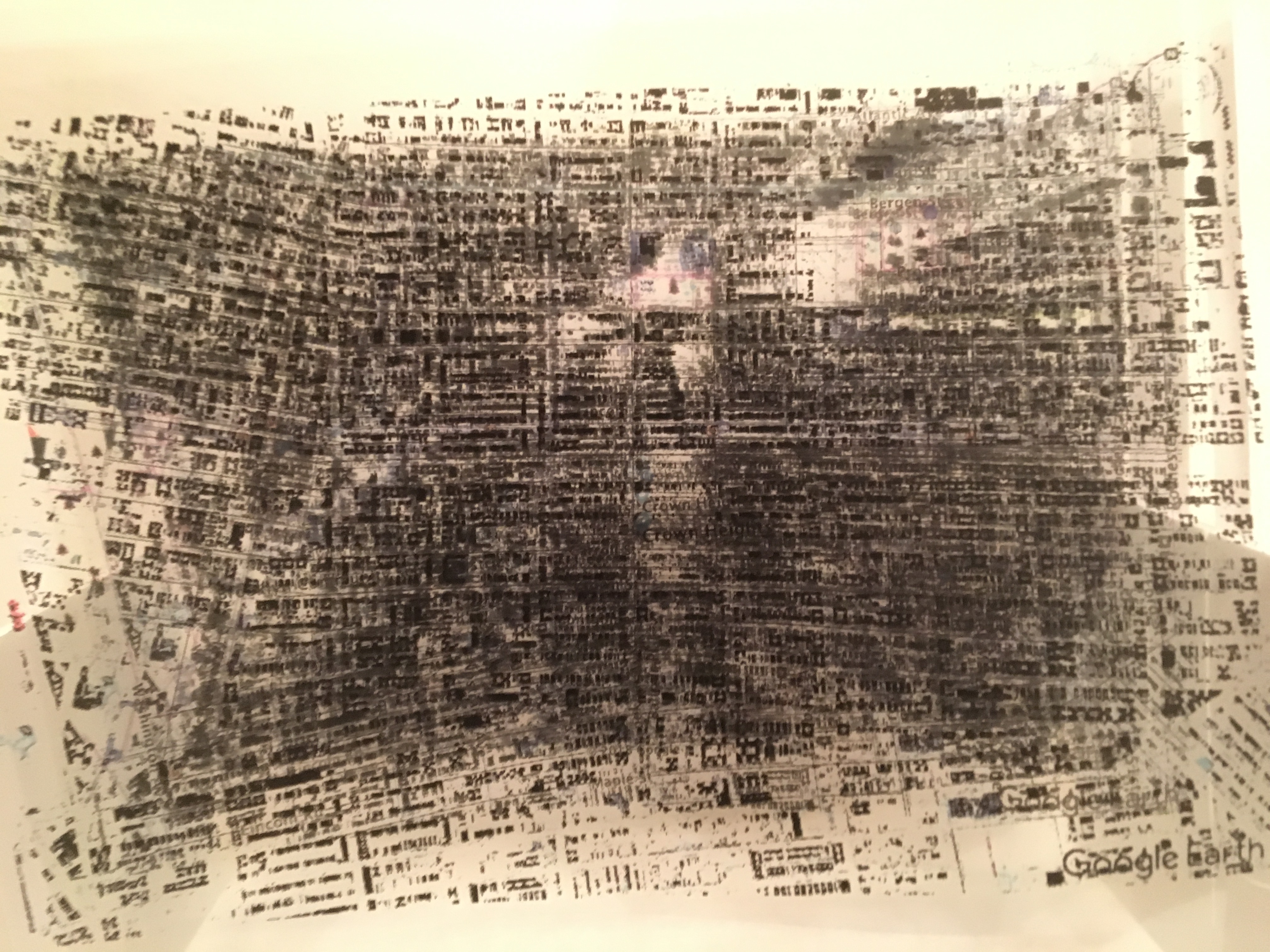
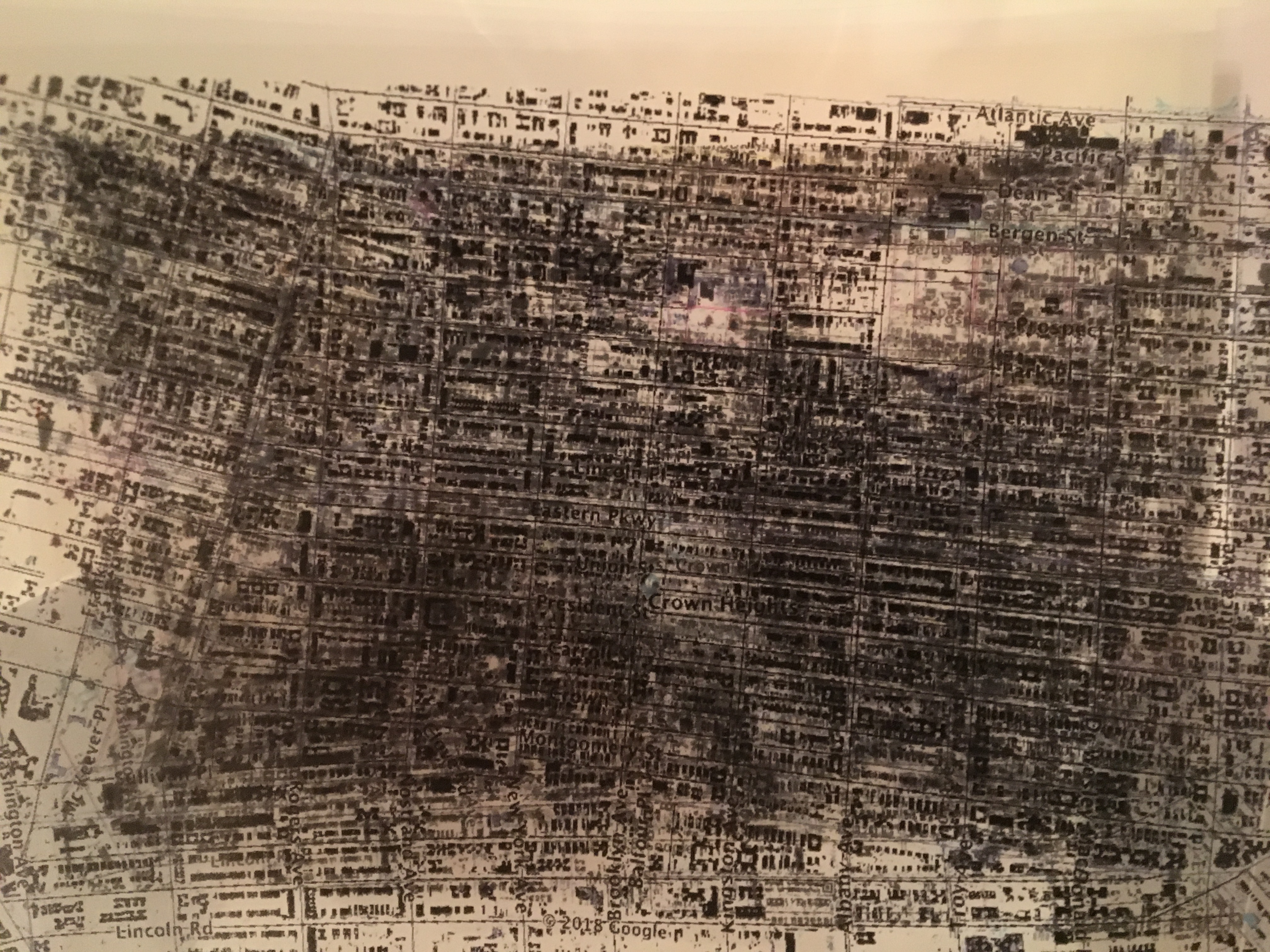
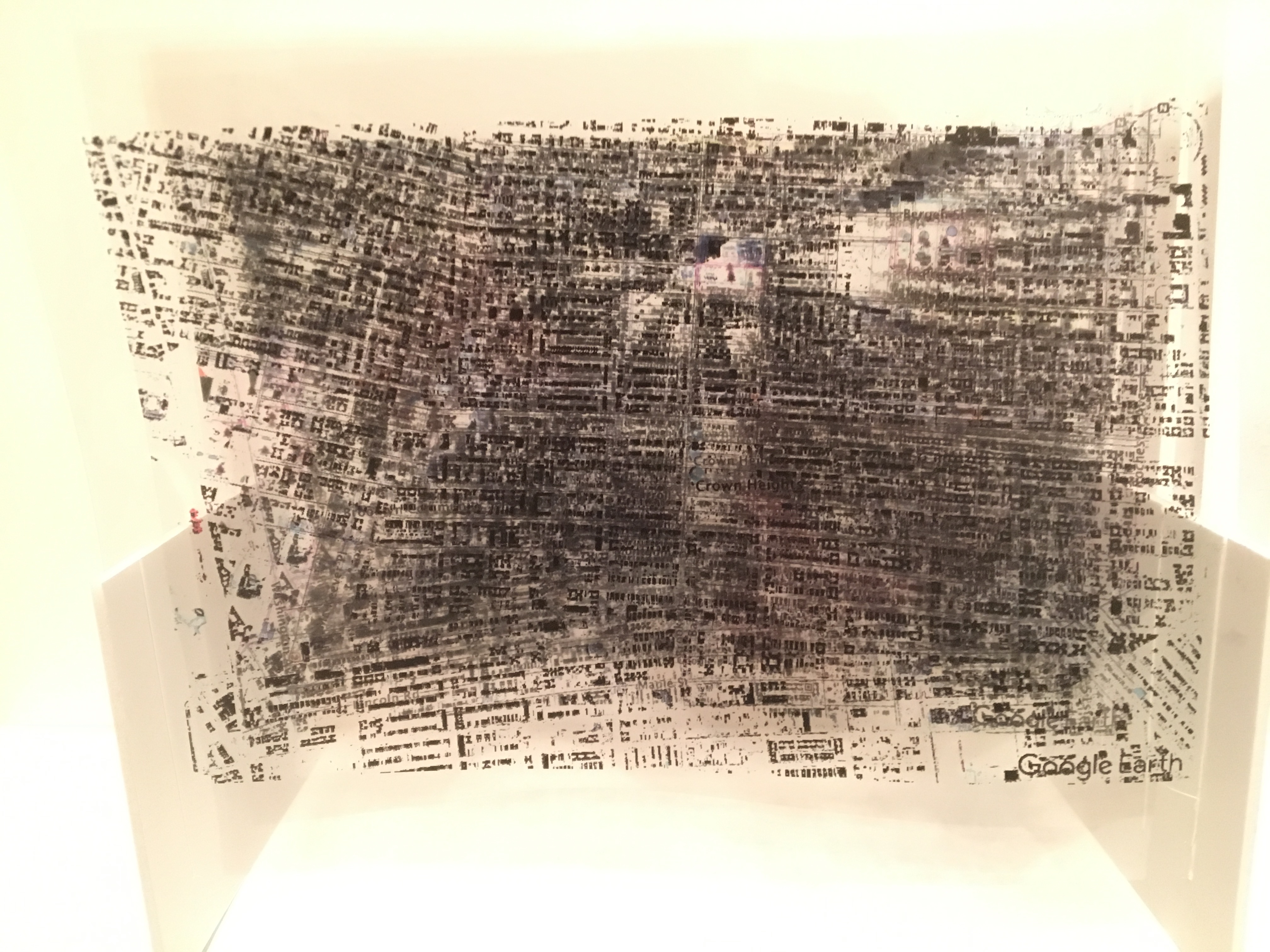
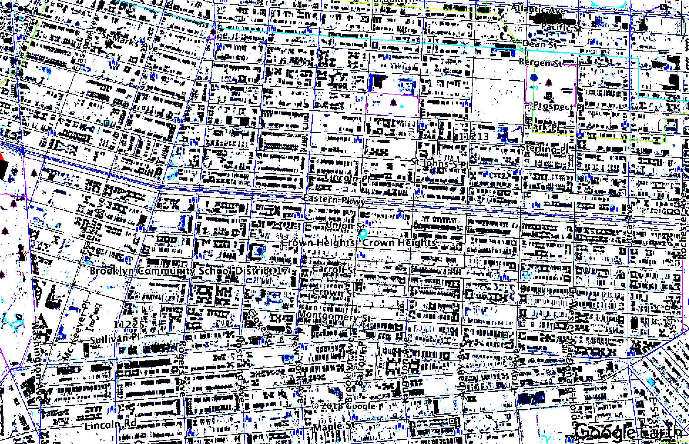
Using Photoshop I stripped away information from a crowded google image of Crown Heights, transferred it into a graphic image and continued to take out certain colors and aspects. Through five phases I have singled out maps for going out, transportation and roads, religion, everything combined, and everything stripped away. Doing so allows each map to be biased and have a more direct purpose to the user. Inverting the colors further abstracts the map and brings the image away from the normal image and known colors, but still provides the same information that I need in my map. Finally eliminating the white surface to see through all layers at once to further abstract the map visually as well as its purpose. Viewing these angles can allow the viewer to find new relationships between the maps finding consistencies and differences.


Process:
Image

Everything

Eating Out

Religion
Transportation/Roads/Hotels

Buildings and Empty Streets